
 Sabin Tavern From an old colorized post card c1890 See Sabin Tavern website |
 Sabin Tavern Courtesy Providence Public Library Collection |
 Gaspee Room Removed from the Sabin Tavern |
 Sabin Tavern Historical Marker |
 John Brown Mansion Home of RI Historical Society |
 Joseph Brown House South Main St., Providence |
 Gov. Stephen Hopkins' House Hopkins & Benefit Street, Providence |
 Ephraim Bowen House Fair Street, Warwick |
 Jos. Tillinghast House 403 South Main St. Providence |
 Jos. Tillinghast Warehouse c1796 South Main Street, Providence |
 Chris. Sheldon warehouse c1784 South Main Street, Providence |
 Abial and Whipple Brown House Courtesy Patty Meyer family record |
 Daniel Pearce House c1781 Transit Street, Providence |
 Jos. Jenckes House c1773 Benefit Street, Providence |
 Dr. John Mawney House c1764 aka The Shunned House Benefit Street, Providence |
 Welcome Arnold House c1780 Planet Street, Providence |
 Dr.
John Mawney Cranston Estate c 1850 RHiX36959
|
|||
 Simeon Potter House c1723 57 Marsh Street, Newport |
 1790 Providence Lottery Ticket Map John Finch |
 Pawtuxet Village Aerial Drone Flyover |
 Gaspee Point Aerial Drone Flyover |
 The Colony House Newport, RI Courtesy Newport Historical Society |
 Peck Lane Cottage Where Gaspee crewmen were detained Photo courtesy RI Historical Society |
 Gaspee Point Lighthouse now demolished |
 Pawtuxet Village c1850 Courtesy Cranston Historical Society |
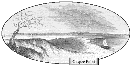
 Gaspee Point c1847 by Benton John Lossing Taken from Pictoral Field Guide to the American Revolution by Benton John Lossing |
Gaspee Point c1847 by Benton John Lossing as modified by RI Parks Commission in an old pamplet owned by Henry A. L. Brown |
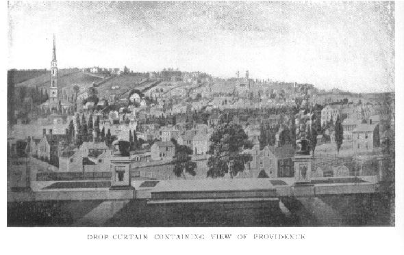
 Providence, c1806 Artist Unknown Theatrical backdrop curtain |
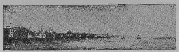
 Providence Waterfront c1800 Artist Unknown Source Unknown |
 Gaspee Point Aerial Photo Courtesy SkyPic.com |
 Gaspee Point High Altitude Photo Courtesy Globe Explorer |
 Map of Gaspee Point today Courtesy YahooMaps |
 Map of Narragansett Bay today Courtesy YahooMaps |
 Map of Original 13 Colonies in 1775 Source Unknown |
 Map of RI 1750-1806 Source Unknown |
 Narragansett Bay 1777 by Charles Blaskowitz Courtesy David Rumsey Historical Map Collection 1.5 MB, but worth it! |
 Blaskowitz map overlaid with Gaspee Attack sequence Courtesy David Rumsey Historical Map Collection modified by Gaspee Virtual Archives 1.5 MB |
 Map of Atlantic Trade Routes c1702 Source Unknown |
 Map of Providence 1798 by A. L. Bodwell and H. R. Chace, 1905 |
 NOAA nautical chart of Gaspee Point Courtesy NOAA |
 Providence land map c1750 by E. Hortense Sheldon |
 1770 Providence taxpayers map Section 1 |
 1770 Providence taxpayers map Section 2 |
 1770 Providence taxpayers map Section 3 |
 1770 Providence taxpayers map Section 4 |
| Back to Top | Back to Gaspee Graphics Index | Back to Gaspee Virtual Archives |
Originally Posted to Gaspee Virtual
Archives 3/2003 Last Revised
06/2018 GaspeeGraphics4.html
|